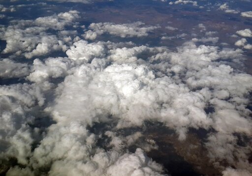
Thick cloud cover can completely obscure the surface of the Earth from satellite view, while thinner haze and shadows distort the image of rural and urban regions. As such, many remote sensing images for monitoring climate, crops, and urban growth are only partially usable.
From Earth News - Earth Science News, Earth Science, Climate Change via This RSS Feed.
You must log in or # to comment.
so it can guess what’s below the cloud cover? or, reconstruct what is velow the clouds from another picture.
sounds fairky useless 😅 good for maps, but not for anything the article talks about