

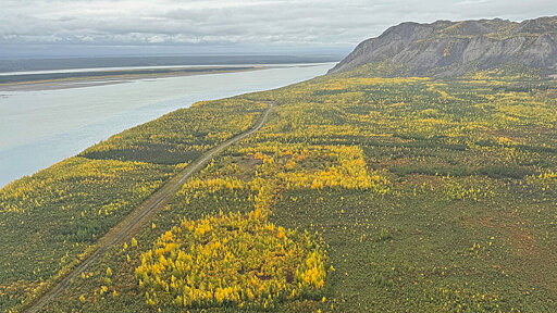
Permafrost in many of Earth’s northern regions is thawing, a process that unlocks greenhouse gases, threatens infrastructure, and could alter landscapes and ecosystems. The Arctic and subarctic are vast, and gaining a comprehensive picture of permafrost distribution is difficult, as it requires seeing under the ground. Now, with a new method that can map permafrost from the air, researchers may get a much more spatially cohesive view of permafrost thickness and distribution.
From Earth News - Earth Science News, Earth Science, Climate Change via This RSS Feed.
You must log in or register to comment.