

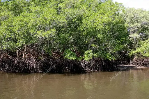
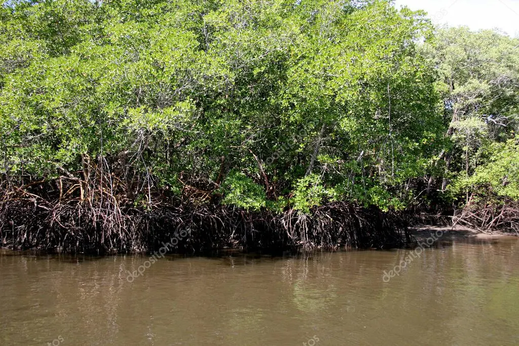
On Monday, scientific institutions and environmental authorities announced that Cuba is advancing scientific and community-based projects to strengthen the climate resilience of vulnerable coastal communities in the southern part of the country. These initiatives involve the study of mangroves, environmental remote sensing, and the integration of human mobility considerations into territorial planning.
RELATED:
Cuba Publishes the Most Comprehensive Botanical Work in Its History
The Center for Environmental Studies (CEAC) presented an analysis of coastline changes between 2016 and 2024, as well as the spatiotemporal variability of the mangroves within the Punta la Iguana ecotone. This area is located at the mouth of the Caunao River, in the Bay of Jagua, in south-central Cuba—approximately 250 kilometers from Havana.
Dr. Minerva Sánchez Llull, a specialist at the CEAC, explained that the team utilized optical remote sensing—incorporating Sentinel-2 imagery and QGIS software—for their analysis. Water quality assessments were based on data from monitoring stations within the bay’s hydrological monitoring program that influence the ecotone.
🌿 Hoy se desarrolló el Taller Final del Proyecto Territorial (PT) Ecotono de Manglar, un espacio de intercambio y socialización de resultados que evidenció el trabajo, la dedicación y los aportes del proyecto al conocimiento y conservación de estos valiosos ecosistemas. pic.twitter.com/EJqVlBeC5V
— Jardín Botánico de Cienfuegos (@botanico_cfg) October 20, 2026
The text reads, “Today, the final workshop for the “Mangrove Ecotone” Territorial Project (PT) took place—a forum for exchange and the sharing of results that highlighted the work, dedication, and contributions of the project toward the understanding and conservation of these valuable ecosystems.”
Sánchez Llull noted that the results indicate a relatively stable coastline over the study period, a slight expansion of mangrove cover around the ecotone, and oligotrophic (nutrient-poor) water conditions at the monitored sites—all of which served as indicators for assessing climate risk in the coastal zone. The study further identified a high level of risk across both sectors of the ecotone, driven by exposure to coastal dynamics and ecological vulnerability, alongside a moderate adaptive capacity. Conservation and Environmental Education
The Cienfuegos Botanical Garden (JBC), the project’s primary implementing entity, presented its achievements. Its director, Niurka Medina Bárzaga, reported on the identification of endemic and threatened species, the propagation and reintroduction of several of these species, and the implementation of environmental education initiatives for children in the Junco Viejo community.
The “Mangrove Ecotone” Territorial Project brought together the JBC, the CEAC (Center for Environmental Studies of Cienfuegos), and the Provincial Meteorological Center to study the relationship between the coastline, mangroves, and climate change in the Bay of Cienfuegos. According to the source, these ecosystems support biodiversity and coastal resilience, making their conservation essential for the region’s environmental management.
Another aspect examined by scientists during the meeting was human mobility and adaptation. In this regard, the Minister of Science, Technology, and the Environment, Armando Rodríguez Batista, emphasized the importance of integrating human mobility into climate change adaptation strategies for vulnerable coastal communities in southern Cuba.
Planned initiatives include a project currently in the validation phase, spearheaded by the International Organization for Migration (IOM) in coordination with the Agency for Social and Humanistic Sciences (AXIS) and the Environment Agency (AMA)—both affiliated with the Ministry of Science, Technology, and the Environment (CITMA)—with support from the IOM Development Fund.
Interesante esto, algo que nuestras autoridades debieran tomar en cuenta y proteger mejor nuestros manglares pic.twitter.com/MDCsy8rBjp
— Cesar 🇵🇦 🖤 (@CesarWi98065754) October 26, 2026
The text reads,”This is interesting—something our authorities should take into account in order to better protect our mangroves.”
The initiative is set to begin in 2027 in Playa Cajío (Artemisa) and Surgidero de Batabanó (Mayabeque), in western Cuba. It aims to strengthen the governance of human mobility within the context of the climate and environmental crisis through socioeconomic studies, participatory assessments, and technical recommendations designed to incorporate these issues into territorial planning and risk management. Both locations are prioritized under the State Plan for Addressing Climate Change—known as “Tarea Vida” (Task Life)—due to their high exposure to coastal erosion, flooding, and sea-level rise.
The project will foster collaboration among scientific institutions, local governments, and communities to develop sustainable responses and strengthen the resilience of these areas. Specialists from AXIS, AMA, and the IOM conducted exploratory visits to both locations, where they engaged with authorities, community leaders, and institutional representatives to discuss the impacts of climate change and opportunities for future action.
Dr. Beatriz Martínez Daranas, a specialist from CITMA, emphasized the importance of conserving marine-coastal ecosystems—even amidst the country’s current economic circumstances and the urgent need to develop the economy through the implementation of the 176 measures approved by the National Assembly of People’s Power.
#Cuba | Cuba is reforming its state-owned enterprises to expand financial autonomy, boost domestic production, and strengthen cooperation with the private sector amid US sanctions.
The government says public ownership will remain central to its economic model.#EconomicReforms… pic.twitter.com/GJMG0FJz6d— teleSUR English (@telesurenglish) October 16, 2026
From teleSUR English via This RSS Feed.