

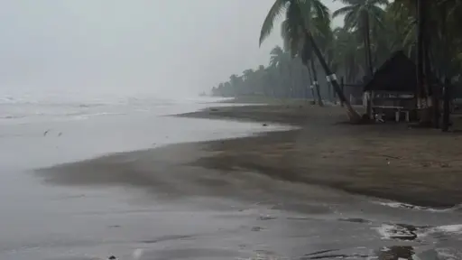
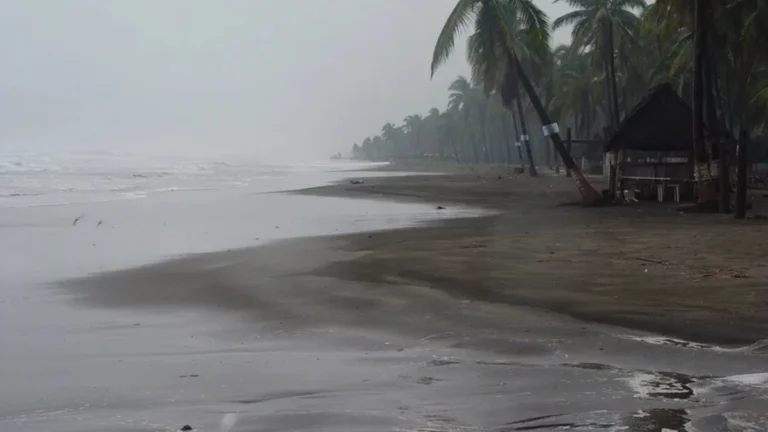
Authorities have activated emergency protocols as the Category 4 hurricane approaches Baja California Sur and could later affect Sonora.
Mexico has activated emergency response protocols as Hurricane Polo, now a Category 4 storm, advances across the Pacific toward Baja California Sur, with authorities preparing for torrential rainfall and potential impacts in northwestern parts of the country.
RELATED: Hurricane Polo To Bring Heavy Rain To 17 Mexican States
As of 9 a.m. Thursday, Polo’s center was 520 kilometers (323 miles) southwest of Cabo San Lucas and 635 kilometers (395 miles) south of Cabo San Lázaro, both in Baja California Sur, according to the National Water Commission (Conagua). The hurricane had sustained winds of 220 kilometers per hour, with stronger gusts, and was moving northwest at 17 kilometers per hour.
The National Water Commission and National Civil Protection Coordination have urged federal, state and municipal authorities, as well as the public, to strengthen preventive measures and prepare for possible impacts.
En entidades de la #PenínsulaDeYucatán, se pronostican #Lluvias fuertes durante las próximas tres horas.
Más información en la imagen 👇 pic.twitter.com/UrAfK9ILwo— CONAGUA Clima (@conagua_clima) September 27, 2026
Text Reads: In entities of the #PenínsulaDeYucatán, #HeavyRains are forecast during the next three hours. More information in the image
Two potential landfalls
According to the National Meteorological Service, Polo could make landfall twice in the coming days. Its director, Fabián Vázquez Romaña, said the storm is expected to first reach Baja California Sur, likely after weakening to a Category 1 or 2 hurricane, before reaching the coast of Sonora on Tuesday as a tropical storm.
Federal emergency agencies have activated response protocols so personnel and equipment can be deployed immediately where needed, with protecting lives as the top priority.
Conagua has placed hydrological monitoring at its highest level, tracking rivers and streams, particularly those that can rise rapidly, as well as reservoir levels in Baja California Sur, Baja California, Sonora and Sinaloa.
Daniel Arriaga Fuentes, the agency’s deputy manager of operational hydrology, stressed the importance of preventive measures ahead of torrential rainfall.
Specialized crews responsible for infrastructure protection and emergency response have prepared water-pumping and drainage equipment at regional centers in Baja California Sur, Sinaloa and Sonora. Authorities said personnel and machinery could be brought in from other states if the scale of the storm’s impact requires additional resources.
Preparations in Baja California Sur
A National Civil Protection Liaison and Coordination Mission is traveling to Baja California Sur to coordinate prevention, preparedness and emergency assistance with federal, state and municipal authorities.
Preventive work is already underway, including clearing drainage channels, cleaning streets, pruning trees and removing waste that could obstruct water flow. Joint teams are also inspecting temporary shelters to check their safety, sanitation and suitability for people who may need to evacuate.
Mexico’s Defense and Navy secretariats are prepared to activate their respective DN-III-E and Navy emergency response plans if necessary. Authorities are also maintaining coordination with the Federal Electricity Commission to implement its emergency plan and restore power as quickly as possible in areas where service is disrupted.
From teleSUR English via This RSS Feed.