

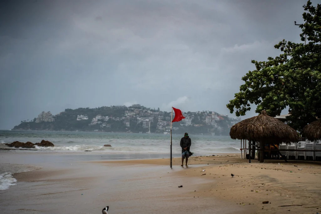
Category 5 Hurricane Polo is expected to bring heavy to intense rainfall across 17 Mexican states as it moves toward Baja California Sur.
Hurricane Polo is expected to bring heavy to intense rainfall to 17 of Mexico’s 32 states on Saturday as the Category 5 storm moves through the Pacific southwest of the Baja California Peninsula, Mexico’s National Meteorological Service (SMN) said Friday.
RELATED: Hurricane Polo Holds Category 5 Strength off Mexico
The heaviest rainfall, ranging from 75 to 150 millimeters, is forecast in parts of Oaxaca, Chiapas, Tabasco and Veracruz, where rivers and streams could rise, triggering landslides and flooding.
Polo is forecast to remain a major hurricane southwest of the Baja California Peninsula, with its circulation strengthening rainfall in Baja California Sur, Sinaloa and Nayarit.
The storm is expected to weaken to Category 4 on Saturday and could make landfall in Baja California Sur on Monday as a Category 2 hurricane.
Coastal areas could also face hazardous conditions. Waves of 2.5 to 3.5 meters are expected along the coasts of Baja California Sur and Nayarit, while waves of 1.5 to 2.5 meters are forecast for Jalisco and Colima. Wind gusts of up to 60 kilometers per hour are possible in Baja California Sur.
🌀 El centro de la #DepresiónTropical #Fay en el océano #Atlántico, se localiza a más de 4,000 km de las costas de #QuintanaRoo. Debido a su distancia y trayectoria no representa peligro para #México.
🤓 Más información de este sistema en: https://t.co/iGFK4ksszu pic.twitter.com/otEdeJojcI
— CONAGUA Clima (@conagua_clima) September 26, 2026
Text Reads: 🌀 The center of #TropicalDepression #Fay in the #Atlantic Ocean is located more than 4,000 km from the coasts of #QuintanaRoo. Due to its distance and trajectory, it poses no danger to #Mexico.🤓 More information on this system at: https://smn.conagua.gob.mx/es/pronosticos/avisos/aviso-de-ciclon-tropical-en-el-oceano-atlantico
Rainfall across Mexico
Sonora, Chihuahua, Durango, Sinaloa, Nayarit, Jalisco, Colima and Guerrero are expected to receive 50 to 75 millimeters of rain. Baja California Sur, Mexico State, Puebla, Michoacán and Campeche could see between 25 and 50 millimeters.
Several other weather systems are expected to contribute to the widespread rainfall, including the Mexican monsoon, atmospheric instability over the northwest, inland low-pressure areas, a low-pressure system off Oaxaca with a chance of developing into a cyclone, and a trough north of the Yucatán Peninsula.
Together, these systems are expected to spread rainfall across northern, northeastern, central, eastern and southeastern Mexico, as well as the Yucatán Peninsula.
Storms could bring lightning and, in the southern Pacific region, possible hail.
Despite the widespread rainfall, a high-pressure system is expected to keep temperatures between 35 and 40 degrees Celsius in 15 states.
Mexico’s National Water Commission (Conagua) said it will continue monitoring Polo and the other weather systems.
From teleSUR English via This RSS Feed.