

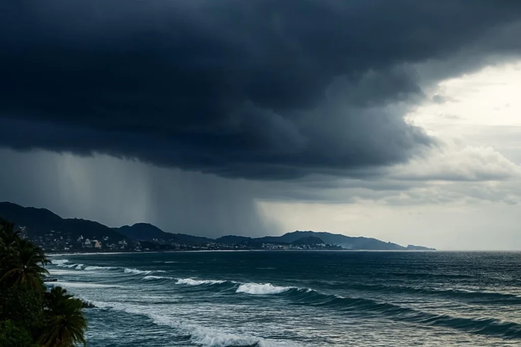
Hurricane Polo, previously a tropical storm, has intensified to a Category 1 hurricane off the Pacific coast of Mexico this Monday, prompting warnings of heavy rainfall, strong winds, and high surf in several states.
The hurricane is currently located approximately 305 kilometers southwest of Zihuatanejo, Guerrero, and 435 kilometers south-southeast of Manzanillo, Colima. Polo is moving eastward at a speed of 7 kilometers per hour, with sustained winds of 130 kilometers per hour and gusts reaching up to 155 kilometers per hour.
The hurricane is expected to intensify further in the coming hours, potentially reaching Category 5 by Wednesday. However, it remains uncertain whether the storm will make landfall.
RELATED: El Niño Phenomenon Reaches “Super” Category: Unprecedented Ocean Warming
The extensive circulation of Hurricane Polo will bring intense rainfall, ranging from 75 to 150 millimeters, to the coasts and southern regions of Guerrero and Oaxaca.
Very strong precipitation, measuring 50 to 75 millimeters, is also anticipated in coastal and southern areas of Michoacán. Additionally, strong rainfall, between 25 and 50 millimeters, is forecasted for the eastern and southern regions of Jalisco and Colima.
Ver esta publicación en Instagram
Una publicación compartida de teleSUR English (@telesurenglish)
The hurricane will also generate strong winds, with gusts between 40 and 60 kilometers per hour along the coasts of Michoacán, Guerrero, and Oaxaca. Significant wave heights of two to three meters are expected in Guerrero and Michoacán, and up to 2.5 meters in Oaxaca. In Jalisco and Colima, wind gusts between 30 and 50 kilometers per hour and sea swells with waves ranging from 1.5 to 2.5 meters are anticipated.
The Mexican National Weather Service (SMN) has warned that the rainfall associated with Hurricane Polo could lead to landslides, increased river and stream levels, overflows, and flooding in low-lying areas of the affected states. Consequently, the public is urged to stay informed about weather updates and follow the guidelines issued by local civil protection authorities.
The weather body emphasized the importance of preparedness, advising residents to monitor weather conditions closely and adhere to safety recommendations. As the hurricane continues to evolve, continuous updates will be provided to ensure the safety of those in its path.
From teleSUR English via This RSS Feed.