

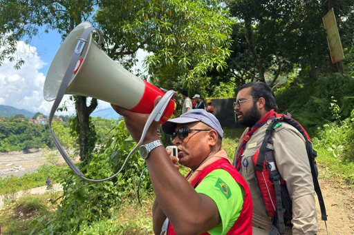
KATHMANDU — At 9:10 a.m. on Aug. 26, head teacher Rajendra Dawadi received frantic phone calls about a flood heading downstream toward Tribhuvan Trishuli Secondary School. He ordered his roughly 900 students to run for higher ground. Ten minutes later, the flood hit the evacuated school. When flood waters receded, the whole compound was buried under debris, with only a fragment of the school’s roofline left showing. There were two “systems” that warned people about the impending danger that day: one built by the state relying on sensors and SMS messages, the other relying on community-based ties. Only the second worked reliably, and in the case of Dawadi and many other survivors, it even arrived first. But not everyone was as lucky. According to the National Disaster Risk Reduction and Management Authority (NDRRMA), as of Sept. 3, a total of 1,252 people have died, with 4,216 more missing and roughly 1.6 million people affected across five districts in Nepal. Headteacher Rajendra Dawadi of Tribhuvan Trishuli Secondary School, talks to relatives on his mobile phone in Trishuli Valley in Nepal. (AP Photo/Rajesh Kumar Singh) Communication researcher Bhuwan KC observed that while one-half of the corridor (upstream) had no information at all, the other had information, but that information couldn’t convey urgency and scale. In areas nearest to the border, on both the Nepal and China sides, everything happened in just seven minutes. The sensors were knocked out immediately. But farther down, in Trishuli Bazaar, Betrawati and toward Muglin and Devghat, people…This article was originally published on Mongabay
From Conservation news via This RSS Feed.