

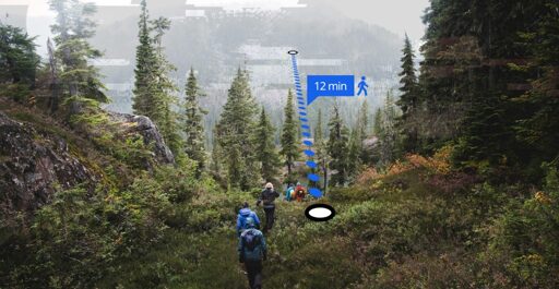
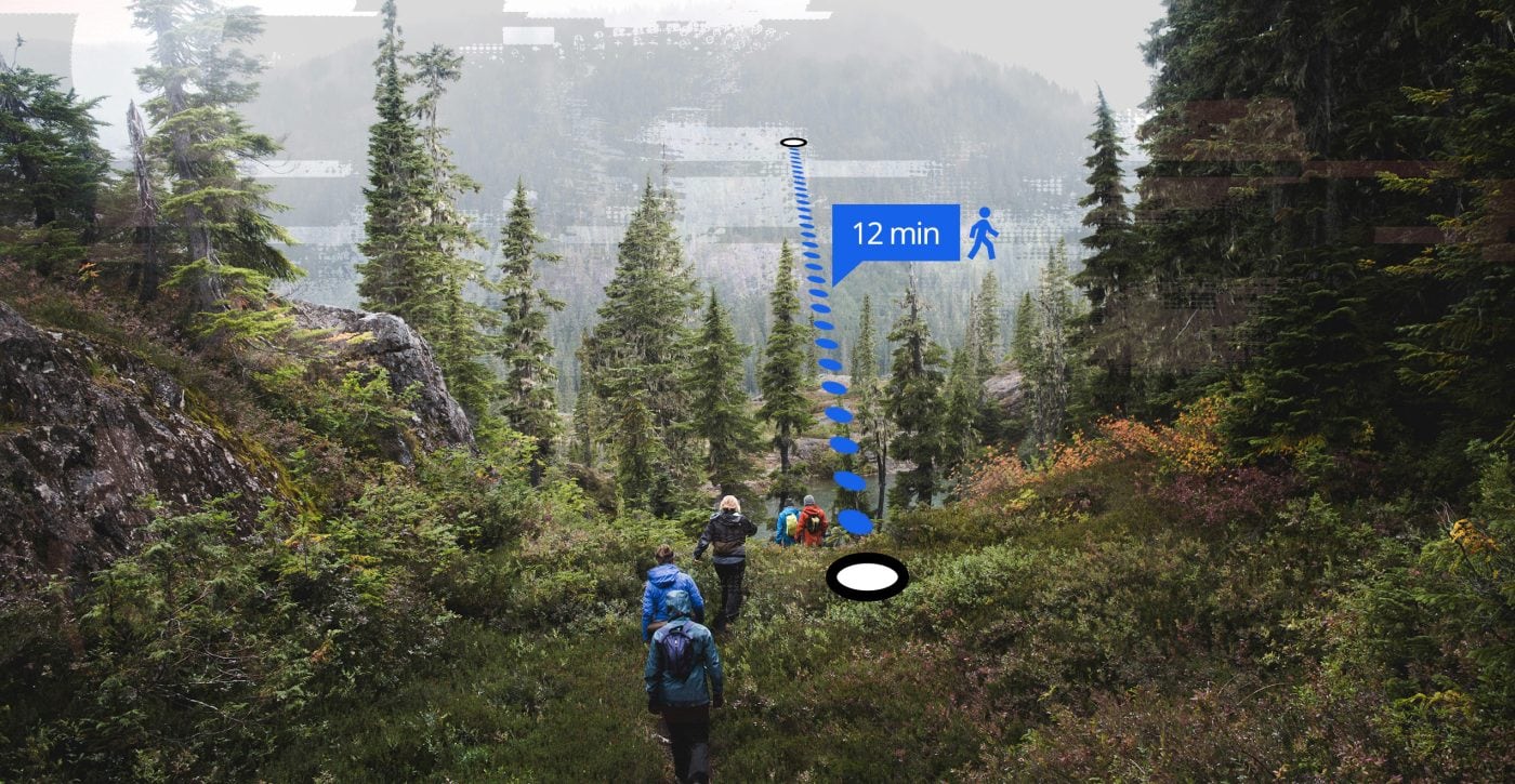
Photo illustration: Shawn Parkinson / The Narwhal
In July, Lions Bay Search and Rescue responded to a call for help from hikers who had planned their hike of the Howe Sound Crest Trail using Google Maps. The 18-kilometre route they chose was Cypress Mountain to the West Lion peak, then descending to Lions Bay. According to Lions Bay Search and Rescue, the route has “well over 1,300 metres of elevation gain, sustained alpine terrain, route finding, scrambling sections, loose rock and countless ups and downs.”
Translation: it’s a big day out. But Google Maps showed the hikers their trip would take 5 hours and 13 minutes. (Inputting a similar itinerary into Google Maps produced a slightly longer route, and an estimated time of under six hours.) In fact, the hike can be an 8- to 14-hour trip and is often done as a two- or three-day backpacking adventure. The hikers were rescued successfully, but it’s not the first time this sort of incident has occurred.
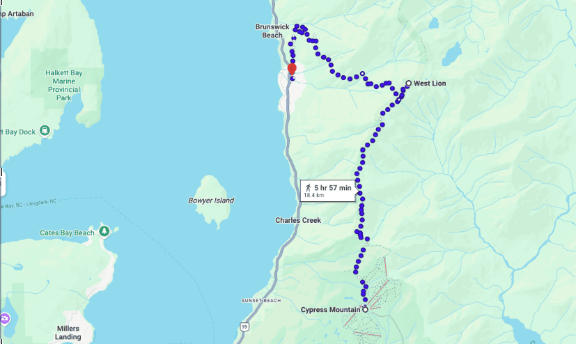
The Howe Sound Crest Trail is a multi-hour and often multi-day commitment. The hiking time calculated by Google Maps, seen here, does not account for the steep terrain or technical elements of the hike. Screenshot: Google Maps
“We have this case where AI has given false information, false directions. It’s pulling from unknown sources, and those sources aren’t always correct,” Maria Masiar, search manager for Lions Bay Search and Rescue, tells The Narwhal. “Whether that’s imagery or weather alerts or fire hazards … as an online user, you have to be really prudent.”
Masiar is also the training officer for Lions Bay Search and Rescue, a role that requires her to run weekly training sessions for team members, everything from medical simulations to helicopter operations. In her eight years of search and rescue, she’s responded to a number of calls that involved bad information.
One rescue was prompted by a group that wanted to write a song about climbing a mountain, and turned to AI for suggestions. “It recommended Mount Unnecessary, which is further along the Howe Sound Crest Trail,” she says, and also a pretty challenging hike for novices. “They get there, and they’re overwhelmed and it ends up precipitating a rescue.”
The trouble with relying on your phone for directions
The issues with Google Maps directions for the outdoors are nothing new: in 2023, North Shore Rescue told CTV they believed people were regularly getting lost on Mount Fromme due to directions from Google Maps that showed a non-existent trail. By email, John Blown, air operations coordinator for North Shore Rescue, told The Narwhal the trail has since been removed, but not before prompting “quite a few rescues and a near fatality.” Blown says the volume of calls related to Google Maps has stayed fairly consistent, though “thankfully there are no trails in our area that don’t actually exist (anymore).”
The Narwhal reached out to Google to ask whether they are aware of these issues, and if they are making any changes as a result. By email, a spokesperson wrote: “Walking navigation on Google Maps is designed for streets — we calculate [estimated times] based on standard walking speeds and show clear warnings that conditions may vary. We encourage hikers to use trail maps and apps designed specifically for hiking.”
So why do people rely on these tools? For one thing, they’re at your fingertips: if you enter a hiking route, Google Maps will probably generate one. (You won’t get a disclaimer telling you not to trust it.)
But using AI also changes the way people think. A recent study by researchers from France and Italy found that “merely having access to AI nearly eliminated participants’ willingness to suspend judgment.” What’s more, even though AI information was incorrect as part of the study design, participants were more confident in their answers. This ignorant bravado is annoying when your friend is quoting ChatGPT at you; it can be downright dangerous when it guides people into the back country.
AI isn’t the only tool distorting perceptions of the outdoors. Masiar points to social media as another realm of inaccuracy. “We see a shortcut, oftentimes, on Facebook or Instagram, where people will just show one part of that journey,” she says. “They’ll show the big, beautiful summit with the dramatic views. But that’s not encapsulating what goes into a trip like that, right?” Regardless, many people are inspired by what they see to try to recreate it; just look at the endlessly repeating images of nearly any iconic summit in B.C.
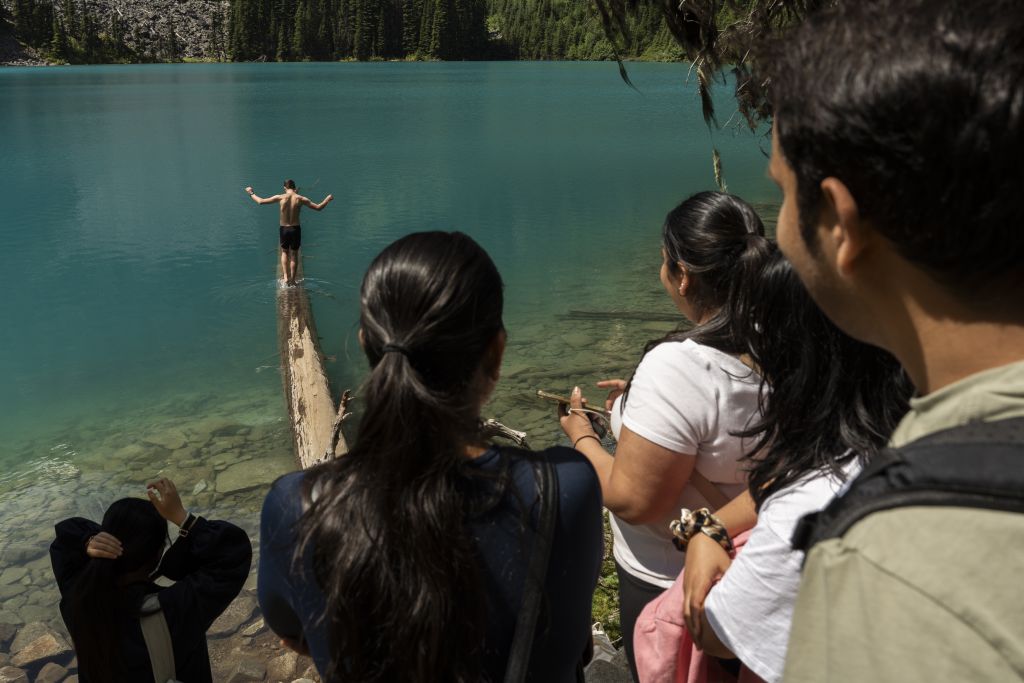
People wait in a line to take a photo at the Instagram-famous log at Middle Joffre Lake in Pipi7íyekw/Joffre Lakes Park. Social media can be a motivating factor for inexperienced hikers to take on big missions. Photo: Paige Taylor White / The Narwhal
“People just go in so unprepared into these areas,” Masiar says, “and I do feel like a lot of it is fuelled by validation and these Instagram journeys.”
Masiar, who has been hiking in one of B.C.’s most popular parks, Joffre Lakes, for 20 years, has seen that Instagram effect first hand. “There’s a lineup of people waiting to walk out onto this log,” she says. “And it’s not just a park-and-go. It’s a real hike. You can twist your ankle. … These are real mountains. There is real wildlife out there.”
For Lions Bay Search and Rescue, that Instagram trap is Tunnel Bluffs, which Masiar says used to be a place “almost nobody knew about.” Now, thousands of visitors pass through each month, drawn by the picturesque west-facing lookout toward Bowen Island. It’s become, Masiar says, the number-one spot for twisted ankles. “The traffic and the incidents on that trail continue to increase because people want that cool sunset photo.”
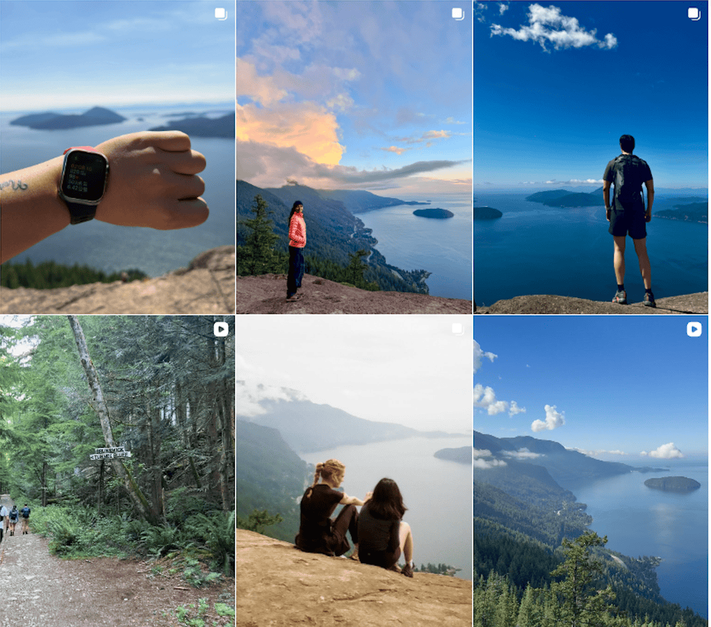
Tunnel Bluffs, in the small town of Lions Bay, B.C., has become an increasingly busy trail due to its popularity on social media. Screenshot: Instagram
Ultimately, neither social media nor AI can provide what Masiar says is most important: hard-earned wisdom. “This is what I feel like a lot of people are lacking,” Masiar says. “Fitness does not equal judgment and experience.”
Hiking apps and resources to use over of Google Maps
Masiar recommends BC AdventureSmart, an education project of B.C.’s Search and Rescue Association, to make a trip plan. The Alpine Club of Canada and the B.C. Mountaineering Club also help people access training, mentorship and resources for navigating the outdoors.
“If people have the means, I always recommend guiding services as well,” she says, particularly if people want to attempt a challenging trail for the first time. “You know they’re going to keep you safe, and that’s something you should definitely consider. Your life is worth it.”
For maps, she recommends AllTrails, which is regularly updated with current conditions and is accessible for beginners. (Though AllTrails raised concerns among many search-and-rescue teams when the company added a feature for users to customize routes using AI.)
“If you’re a more advanced user, I’d say Gaia GPS or Outmap are the two really good ones,” she adds. Her search-and-rescue team uses CalTopo, which is geared toward back country travel.
But the most helpful tips come from asking more experienced hikers. Local hiking groups on Facebook or in person are more reliable than Google search results.
July and August are the busiest months for calls. “We usually have four or five calls in July,” Masiar says, when we speak in late July. “This year we’ve had 10.” Some are from dehydration, when temperatures are high and water is scarce; others are injuries from slipping or falling. “And it’s wasp season,” she adds.
In other words, there are plenty of natural hazards, which even experienced hikers might not be able to control. AI-generated directions of dubious origin? That’s within even the most beginner hiker’s grasp.
The Narwhal’s reporters are telling environment stories you won’t read about anywhere else. Stay in the loop by signing up for our free weekly dose of independent journalism.
From The Narwhal | News on Climate Change, Environmental Issues in Canada via This RSS Feed.