

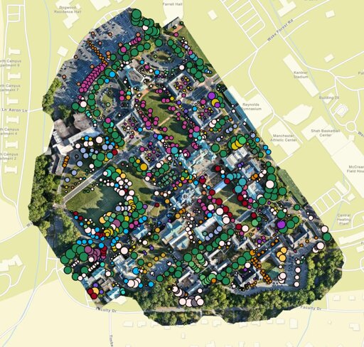
It took one drone, 300 million laser data points and seven teams of students on foot to map Wake Forest University’s trees. Led by Ovidiu Csillik, an assistant professor of remote sensing in the environment and sustainability studies program, the project produced a publicly accessible, interactive 3D digital map of more than 1,000 trees and helped the university earn international accreditation as a Level II arboretum.
From Biology News - Evolution, Cell theory, Gene theory, Microbiology, Biotechnology via This RSS Feed.
You must log in or # to comment.