

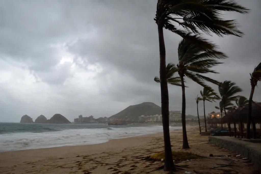
Hurricane Karina intensified to Category 4 this Monday in the Pacific Ocean with maximum sustained winds of 233 kilometers per hour, while Tropical Storm Lowell moved toward Hawaii.
Hurricane Karina strengthened rapidly since Sunday and entered the range described as “potentially catastrophic damage”, according to the National Hurricane Center (NHC).
The system is located 1,640 kilometers west-southwest of the southern tip of Mexico’s Baja California peninsula.
RELATED: Ecuador Declares Nationwide Red Alert As El Niño Conditions Evolve
The Saffir-Simpson scale assigns Category 4 status to storms with winds between 210 and 250 kilometers per hour, capable of destroying roofs and structures.
Although Karina does not threaten land, forecasters warned that its swells will affect the coasts of Mexico and southern California, with a “danger to life” alert for surfers.
TRACKING THE TROPICS
: Major Category 4 Hurricane Karina churns in the Pacific alongside Tropical Storm Lowell and Invest 95E, which is carrying a high chance of tropical development. Are you tracking these Pacific systems? Watch with us to track them LIVE: pic.twitter.com/o9cyqt2b9B
— FOX Weather (@foxweather) August 31, 2026
Karina is the eleventh named tropical depression of the year in the eastern Pacific. It formed just two days after Tropical Storm Julio, which dissipated quickly.
The rapid succession of named systems underscores how warm ocean waters have accelerated the pace of the season. Forecasters point to sea surface temperatures well above average across the basin as the main engine behind the unusually busy calendar.
Karina’s rapid intensification fits a pattern observed in recent seasons, when warm ocean waters fueled storms that strengthened quickly over short periods. The swells generated by Karina will reach Mexican and California shores even though the storm remains far from land.
Local authorities along those coastlines have posted warnings for beachgoers and surfers, who face dangerous rip currents and large waves.
Lowell Eyes Hawaii
In another zone of the Pacific, Tropical Storm Lowell sits 1,380 kilometers east-southeast of Hawaii, moving westward with winds of 97 kilometers per hour.
Lowell poses no immediate threat to land, but it could draw closer to the Hawaiian islands later in the week. The storm’s trajectory will depend on the steering currents over the central Pacific in the coming days. Meteorologists estimate the system could become a hurricane by Monday night or Tuesday.
For Hawaii, the approach of Lowell revives the memory of Lala’s impact just weeks ago. Emergency management agencies in the islands have urged residents to monitor official updates as the storm’s path becomes clearer.
Chances are increasing that Tropical Storm #Lowell could make a 90 degree turn northwards as a Major #Hurricane somewhat close to #Hawaii. Overall, no impacts are expected within the next 5 days. Will have a stream up later this evening to answer your questions! https://t.co/7mXAS90zLl pic.twitter.com/EThK2EO0pQ
— Hurricane Chaser Chase (@hurricane_chase) August 31, 2026
Before Karina, three other hurricanes had formed this season in the eastern and central Pacific basins. Among them was Lala, which reached major hurricane status in mid-August and affected Hawaii.
The El Niño phenomenon, marked by extraordinary warming of Pacific waters, tends to boost cyclone activity in the region. The phenomenon’s continued strengthening raises surface ocean temperatures in that basin and creates favorable conditions for storm development. In this sense, the National Hurricane Center projects between 5 and 13 tropical storms in the central Pacific between June 1 and November 30.
With both systems active simultaneously, the Pacific basin enters one of the busiest stretches of the 2026 season. No coastal alerts or advisories remain active in connection with Hurricane Karina. The NHC forecasts that Karina will enter a gradual weakening trend toward the middle and second part of the week as it advances into cooler waters of the central Pacific and environmental conditions become less favorable.
The coming days will determine whether Lowell strengthens into a hurricane and how close it comes to the Hawaiian archipelago. Meanwhile, Karina continues its path across open waters, watched closely by meteorologists tracking its every shift.
From teleSUR English via This RSS Feed.