

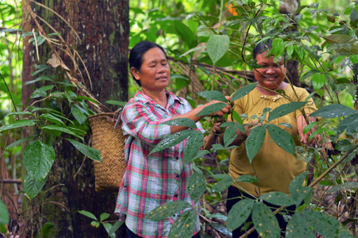
JAKARTA — Indigenous peoples in Indonesia have long faced a basic problem: Data on their communities, cultures and customary territories are scattered across government agencies and civil society organizations, making them less visible in spatial planning and permitting. The Indonesian government is trying to address that gap by integrating data from the Ministry of Culture, the Ancestral Domain Registration Agency (BRWA) and the country’s largest Indigenous peoples’ alliance, AMAN, in a dataset covering 3,857 Indigenous communities. The government says the integrated data will strengthen policymaking and protection of Indigenous peoples. BRWA says the bigger significance could be spatial: Customary territory maps, which can show the ancestral lands, traditional territories, languages and more of Indigenous peoples, could eventually become part of the government’s geospatial data and potentially be visible in spatial planning and permitting. BRWA was established in 2010 by Indigenous and civil society organizations, including AMAN, to document and register customary territories amid the government’s slow progress in recognizing Indigenous peoples and their lands. The new integrated dataset was launched on Aug. 19 in Jakarta. Before the launch, data on Indigenous peoples had been scattered across various ministries, institutions and civil society organizations, according to Restu Gunawan, the Ministry of Culture’s director general of cultural and traditional protection. The differences matter, he said during the launch: Even a difference of one community in the datasets could translate into thousands of hectares of difference when it comes to customary territories. Didik Darmanto, director of religion, culture, youth and sports at the…This article was originally published on Mongabay
From Conservation news via This RSS Feed.