

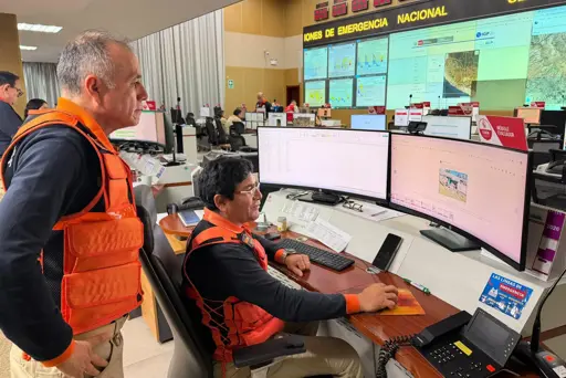
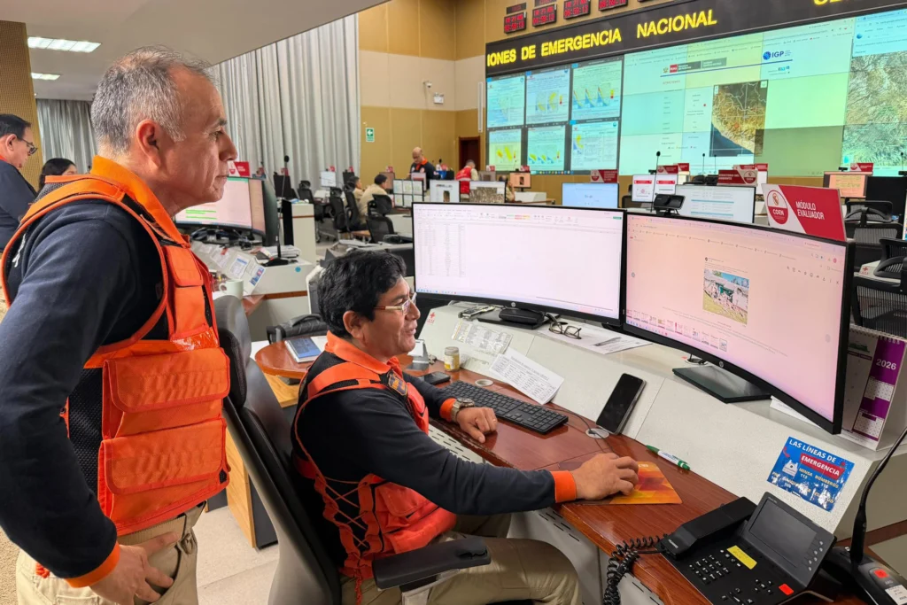
A powerful 7.2 magnitude earthquake struck Peru’s southern Ayacucho region this Thursday, August 20, without preliminary reports of fatalities or significant material damage, according to the Geophysical Institute of Peru (IGP).
The seismic event occurred at 1:00 P.M. local time with its epicenter located 35 kilometers north of the Coracora district, in the province of Parinacochas. The earthquake lasted approximately one minute and perceptibility reports arrived from various regions, including the capital Lima.
The Geophysical Institute of Peru’s technical report specifies that the tremor had a depth of 108 kilometers, classifying it as an intermediate-focus event. Due to this depth, the seismic waves propagated toward several regions of the country. Authorities ruled out the occurrence of a tsunami.
RELATED: Colombia Declares Economic, Social and Ecological Emergency After Earthquake
In the town of Coracora, the earthquake intensity reached levels III-IV on the Mercalli scale, being clearly perceived by the population inside their homes. The moderate intensity at the surface, despite the large magnitude, responds to the depth of the hypocenter, which dissipated part of the energy before reaching the surface.
Emergency response organizations and risk management institutions have not reported fatal victims, injured persons or considerable material damage so far. However, the teams of the National Institute of Civil Defense (Indeci) and local authorities maintain field evaluations in the rural communities near the epicenter to rule out damage to vulnerable infrastructure.
Ver esta publicación en Instagram
Una publicación compartida de teleSUR English (@telesurenglish)
Emergency Monitoring Active
The National Institute of Civil Defense reiterated prevention measures for citizens in the face of the possibility of aftershocks, urging people to remain calm, identify the internal safety zones in their homes and keep emergency backpacks prepared with supplies for at least 72 hours. The institution emphasized that preparation is the first line of defense in seismic countries.
Authorities reminded that Peru is located in the so-called Pacific Ring of Fire, one of the regions with the greatest tectonic activity on the planet due to the continuous interaction of the continental plates. This geological reality explains the frequency of seismic movements in the Andean territory and the permanent alert state of the country’s monitoring systems.
Ver esta publicación en Instagram
Una publicación compartida de teleSUR English (@telesurenglish)
The Geophysical Institute’s teams and the disaster management system continue with real-time monitoring of the Andean zone to update the balances as the inspections advance in the province of Parinacochas and neighboring areas. Communication with the most remote communities remains a priority for authorities, who seek to confirm the state of roads, health posts and schools in the affected radius.
Meanwhile, the Peruvian government maintains its emergency systems activated, with the promise of delivering a complete report in the coming hours once the field inspections conclude in the most affected sectors of the southern Andean region.
From teleSUR English via This RSS Feed.
Why has Latin America been getting crazy strong earthquakes recently?
