

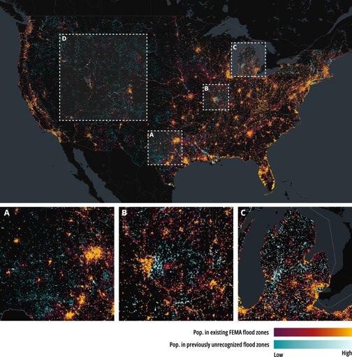
Official flood maps shape disaster preparedness, insurance decisions and urban planning, but large parts of the United States remain unmapped or under-mapped. This means some communities may be left unaware of the risks they face, limiting their ability to prepare for future floods.
From Earth News - Earth Science News, Earth Science, Climate Change via This RSS Feed.
You must log in or # to comment.
co-developed a deep learning framework that completes missing and under-mapped flood hazard zones across the contiguous United States.
An unfortunate title that implies this is to be not trusted, but this is not AI as in grok
