

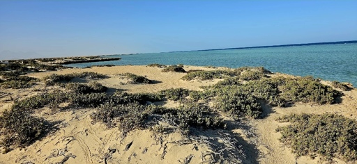
Egypt’s deserts are often introduced to the world as empty: Wide horizons, silence, heat, sand and stone. In tourism brochures they become dramatic scenery. In archaeological writing they can appear as corridors around monuments. In some conservation documents they are fragile spaces that need technical management from outside. But these descriptions miss something essential. Deserts are not empty. They are living landscapes, ecological archives and knowledge systems. For local desert communities, the landscape is not a blank background. It is read through water, plants, tracks, grazing routes, winds, seasonal movement, stories, risks and memories. A valley, a spring, a coastal plain or a mountain pass can hold information about how people and non-human life have adapted to scarcity. This kind of local ecological knowledge is not a decorative addition to conservation. It can help researchers and managers understand how landscapes are used, remembered and explained. In Egypt, this point matters urgently. The country is known globally for its ancient monuments, but its protected areas and biosphere reserves also contain another kind of heritage: Fossil valleys, desert plants, coral-linked coastal systems, migration routes, geological formations and human knowledge shaped by arid environments. If these landscapes are treated only as scenery, or as scientific sites separated from people, conservation loses part of its evidence base and much of its public meaning. At Wadi Al-Hitan in Fayoum, Egypt, visitors often arrive to see fossil whales, but the wider landscape tells a larger story: Ancient seas, changing climates, desert erosion and the long history…This article was originally published on Mongabay
From Conservation news via This RSS Feed.