

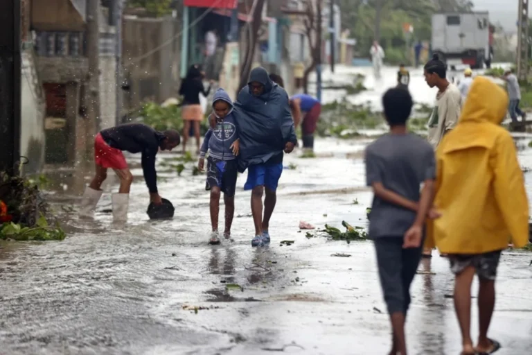
Cuba could face higher temperatures, drought and a direct tropical cyclone impact as El Niño strengthens in the Pacific.
Cuba could face higher temperatures, drought and a direct tropical cyclone impact as El Niño strengthens, the island’s Institute of Meteorology (Insmet) has warned.
RELATED: El Niño: 95% Risk of a Historic Climate Threat in Latin America
The climate phenomenon, known as El Niño-Southern Oscillation, or ENSO, can affect rainfall, water availability and the frequency of periods of intense heat. It occurs when sea-surface temperatures in the central and eastern equatorial Pacific rise above their normal levels.
Insmet’s warning comes as the U.S. National Oceanic and Atmospheric Administration (NOAA) reports that the current El Niño has strengthened over the past month. The agency estimates a 69% probability that the event will be the strongest El Niño recorded since 1950.
For Cuba, the development comes during a hurricane season that Insmet expects to be less active than normal. The institute puts the probability of Cuba being directly affected by at least one hurricane at 40% before the current season ends on Nov. 30. The probability of a direct impact from a tropical storm is higher, at 75%.
Insmet forecasts the formation of up to 11 tropical cyclones during the season: eight in the Atlantic basin, two in the Caribbean Sea and one in the Gulf of Mexico. Five could reach hurricane strength, including two that could become major hurricanes.
Recent hurricanes to affect Cuba include Melissa in 2025, Óscar and Rafael in 2024, and Ian in 2022.
El Niño strengthens
El Niño’s effects extend beyond the Pacific. Warming in the central and eastern Pacific transfers heat to the atmosphere, contributing to drought in Indonesia and Australia and flooding in parts of South America.
Insmet said specialists consider the interaction between El Niño and global warming capable of producing less predictable effects, potentially worsening heat waves and other disasters.
NOAA said El Niño has been present since June and strengthened over the past month. Sea-surface temperatures in the eastern Pacific have risen more than 2 degrees Celsius above normal, while temperatures below the surface have reached as much as 10 degrees Celsius above normal.
Computer models indicate that the phenomenon will reach its peak in late autumn and early winter, with greater intensity than previously forecast. NOAA estimates that it could surpass the 1982-83 El Niño, which had been considered the strongest on record, after reaching temperature anomalies of 2.5 degrees Celsius above average over a three-month period.
From teleSUR English via This RSS Feed.