

The Climate Prediction Center of the National Oceanic and Atmospheric Administration (NOAA) reported Thursday that El Niño has a 69% probability of becoming the most intense occurrence since 1950, with effects potentially spanning the globe.
NOAA elevated its projection after detecting that the phenomenon, active since June, gained strength in the last month, reaching surface temperatures exceeding two degrees Celsius in the eastern Pacific and up to 10 degrees below the surface, the agency reported.
RELATED: WFP Warns El Niño Will Push 49 Million Into Acute Hunger
Computer models almost unanimously agree that El Nino will peak in late autumn and early winter with greater intensity than previously anticipated, NOAA estimates, projecting it will surpass the historic super-El Niño of 1982-1983, which held the record with anomalies of 2.5 degrees above average over a three-month period.
El Niño is strengthening, with a greater than 90% chance of a very strong event during the Northern Hemisphere fall and winter 2026-27. An #ElNino Advisory remains in effect. #ENSO https://t.co/5zlzaZ0D9Z pic.twitter.com/fgmhkiE3Gf
— NWS Climate Prediction Center (@NWSCPC) August 13, 2026
The agency now employs the Relative El Niño Oceanic Index (RONI), which discounts the background warming trend in tropical oceans. Even with that adjustment, the current episode is described as unprecedented. Never before has such an intense El Niño been recorded, nor has such a powerful one occurred in such a warm climatic context, experts warn.
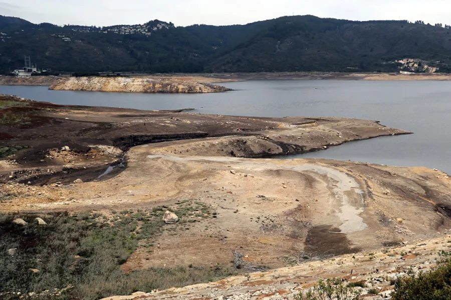
The warming of the central and eastern Pacific transfers heat to the atmosphere, causing droughts in Indonesia and Australia, as well as flooding in parts of South America. Specialists consider that the combination with global warming makes repercussions unpredictable, potentially aggravating heat waves and other disasters.
Daily El Niño monitoring in the Central Pacific by @Senamhiperu shows sea surface temperature anomalies well ahead of the forecasted peak in November.
WMO & Members closely monitor this major climate event with far reaching impacts on lives & livelihoods. https://t.co/qXWyiuhEvC pic.twitter.com/z0JSekUd8u
— World Meteorological Organization (@WMO) August 8, 2026
In the United States, the phenomenon implies drier conditions and a warmer-than-usual winter, with rain and possible flooding in the southern strip from California to Florida. El Niño winds also increase the likelihood of tropical cyclones in the Pacific, where up to 22 are forecast, while reducing hurricane activity in the Atlantic, with a maximum of 13 following the downgrade on August 6.
NOAA meteorologists warned, however, that record intensity does not guarantee more severe effects in all areas typically affected, though it does increase the likelihood of them occurring during autumn and winter, when the phenomenon’s influence peaks in the northern hemisphere.
From teleSUR English via This RSS Feed.