

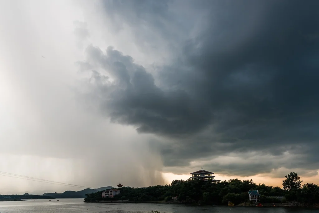
Brazil’s National Institute of Meteorology warns of explosive cyclogenesis that will bring torrential rains, hail, and intense gusts to Rio Grande do Sul, Santa Catarina, and Paraná.
The National Institute of Meteorology (Inmet) of Brazil maintains active alerts for the formation of an extratropical cyclone classified as a bomb cyclone, a system that will impact the country’s southern region with severe storms, hail, and strong winds starting this weekend.
RELATED: WFP Warns El Niño Will Push 49 Million Into Acute Hunger
The phenomenon, technically known as explosive cyclogenesis or bombogenesis, occurs when the central pressure of a low-pressure system falls at least 24 hectopascals within a 24-hour period. For this event, meteorological models indicate the central pressure of the system will drop dramatically from 967 hectopascals to approximately 941 hectopascals between Friday and Saturday, signaling an exceptionally rapid intensification.
A Defesa Civil Nacional informou que um ciclone bomba começa a atuar no Brasil a partir desta quinta-feira (6), com previsão de temporais, ventos fortes e possibilidade de granizo. Alertas de emergência serão enviados aos moradores por SMS. pic.twitter.com/o2CXO1IKxf
— Reinaldo Gottino (@RGottino) August 6, 2026
Red Alert Activated
Given this scenario, the National Institute of Meteorology issued a red alert of “great danger” for the central-southern area of Rio Grande do Sul, due to the high risk of intense precipitation, electrical discharges, and strong gusts. This is the highest level in the institute’s warning scale and implies imminent risk to the population.
Parallel to this, orange alerts remain in effect for the rest of Rio Grande do Sul, the central-western region of Santa Catarina, the western and southern areas of Paraná, and the southern part of Mato Grosso do Sul. Other surrounding areas remain under yellow advisories, which indicate less severe but still notable weather conditions.
The institute maintains permanent monitoring of the three states of the southern region, where the combination of rapid pressure drop and the influence of warm ocean waters will create conditions favorable to the formation of supercell storms, intense hail, and wind gusts that could exceed dangerous thresholds.
Intenso ciclone atinge a Região Sul: alerta de
temporais, ventos de 100 km/h e linha de instabilidade.
Mais detalhes com Denis Garcia: https://t.co/6dn82BLCZE
— Meteored Brasil (@MeteoredBR) August 5, 2026
Atlantic Intensification Expected
The meteorological agency forecasts that the cyclone will continue to strengthen as it moves over the South Atlantic Ocean, intensifying severe weather conditions across the region. The system’s trajectory suggests the worst impact will occur between Friday afternoon and Saturday, with the most critical hours concentrated during the night.
Faced with this scenario, authorities urged the population to follow the recommendations of the Civil Defense bodies and avoid unnecessary travel during the storm’s passage. Local governments in the affected areas activated emergency protocols, including the preparation of shelters and the coordination of rapid response teams.
The weather report notes that, in contrast to the southern situation, precipitation for the rest of the Brazilian territory will remain concentrated in the western Amazon and along stretches of the northeastern coast. Meanwhile, most of the country’s interior will continue under the dominance of a dry air mass, characterized by atmospheric stability and low relative humidity levels.
This contrast highlights the meteorological diversity that Brazil experiences simultaneously, while the southern region prepares for one of the most significant atmospheric events of the year. The bomb cyclone, with its explosive development, represents a considerable challenge for local emergency systems, which already face a scenario of climate change marked by the increasing frequency and intensity of extreme weather events in South America.
From teleSUR English via This RSS Feed.