

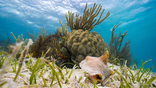
Almost 70% of the global extent of seagrass meadows is found off the coasts of just five countries. However, only 21% of this fall within marine protected areas. These are some of the key findings from the first high-resolution map of seagrasses around the world. Scientists at Arizona State University in the U.S. used satellite imagery and artificial intelligence to map seagrass cover over two periods, 2019-2020 and 2023-2024. According to a study, recently published in the journal Nature, the team identified “148,506 km2 of seagrass globally,” or about 57,340 square miles, a combined area larger than England, with the majority lying in subtidal areas. “We wanted to map seagrass in a very accurate manner,” Jiwei Li, an assistant professor at ASU’s School of Ocean Futures, who led the study, told Mongabay in a video interview. “And tell people where the seagrass is and where there is potential to protect it.” Scientists mapped seagrass ecosystems using satellite data and AI technology. Pictured above is a satellite image from a coast off of Richmond, Canada, along with the seagrass ecosystems highlighted in green to the right. Image courtesy of Jiwei Li, Arizona State University. Seagrasses are the only flowering plant species in the ocean, and form vast meadows in shallow waters. Apart from being habitats for many marine species, these meadows are also crucial carbon sinks that can absorb CO2 35 times faster than terrestrial forests. They also protect coastlines and filter pollutants in the water. However, seagrass ecosystems face threats from…This article was originally published on Mongabay
From Conservation news via This RSS Feed.