

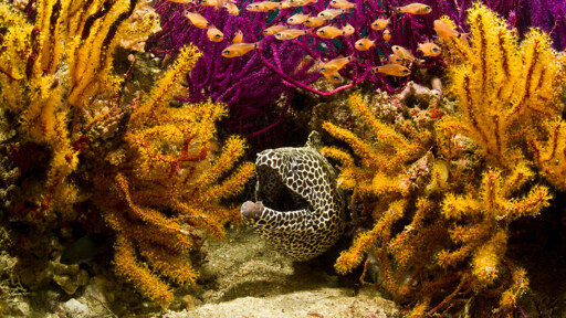
In recent weeks, the Strait of Hormuz has again been described in the language the world knows best: Oil, tankers, naval risk, energy security and war. That is understandable. Around one-fifth of global oil and liquefied natural gas shipments normally move through this narrow passage between Iran and Oman. When Hormuz is threatened, markets react and governments calculate. But this is only one map of the strait. Conservation offers another. The Strait of Hormuz is not only an oil chokepoint. It is an ecological corridor: The narrow mouth through which the Persian Gulf exchanges water with the Gulf of Oman and the wider Indian Ocean, and through which islands, mangroves, seabird colonies, coral reefs, turtle nesting beaches and coastal communities are connected across borders. A pair of flamingos, Marawah Marine Biosphere Reserve, Abu Dhabi, UAE. Image courtesy of Maitha Bughanoom. This way of seeing Hormuz matters now because recent oil-related reports have not pointed to empty water. They have pointed toward real places: Shidvar, an uninhabited Ramsar island in Lavan, Iran, where damage to nearby oil infrastructure can quickly become a threat to a breeding ground for more than 80,000 terns each year; Qeshm and the Hara mangrove forests, the largest mangrove system in the Persian Gulf and also a Ramsar site; Kharg Island, and also small ports, fishing grounds and coastal waters where human life and wildlife are not easily separated. The full biological impact is still unclear but the geography already tells us enough: In the Persian Gulf,…This article was originally published on Mongabay
From Conservation news via This RSS Feed.