

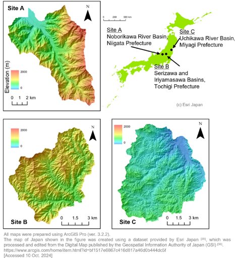
Researchers at University of Tsukuba analyzed high-resolution topographic data from airborne LiDAR to examine the relationships among landslide area, depth, and slope gradient.
From Earth News - Earth Science News, Earth Science, Climate Change via This RSS Feed.
You must log in or # to comment.