

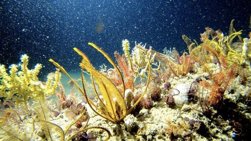
In late August 2019, fishing communities along the northeast coast of Brazil reported black oily stains washing up on beaches, with crude clumping between the roots of mangroves, on the shells of turtles and on growing numbers of beached fish. The origin of the spill was never confirmed: Then-president Jair Bolsonaro first blamed a Venezuelan tanker, then Greenpeace. What was soon clear, however, was the scale of the disaster. Carried by strong winds and ocean currents, by early 2020 the oil had contaminated thousands of kilometers of coastline across all nine Brazilian states in the region. As the country’s government issued its first oil exploration licenses off the northeast coast in two decades earlier this year, research published last month looks to predict the scale and spread of a potential future spill. According to the study, outdated marine habitat maps and a failure to consider expansion across multiple sites in the region has led officials to underestimate the environmental risks of oil spills, especially for seagrass meadows and deepwater corals. Regions where a spill is more likely to happen should prepare an emergency response, the paper recommends, while “areas of high conservation importance but relatively lower oil spill risk” could be targeted for new or expanded Marine Protected Areas (MPAs) as a precaution. “Most of the licensing just looks at one activity in one location: not the whole seascape,” Rafael Magris, an ecologist at the Chico Mendez Institute for Biodiversity Conservation and lead author of the research, told Mongabay in…This article was originally published on Mongabay
From Conservation news via This RSS Feed.