

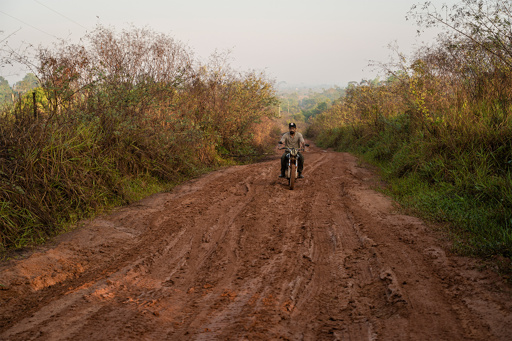
In 2022, an illegal road cutting the length of a full marathon through two strictly protected areas in the Brazilian Amazon threatened to do what conservationists feared most: Split the Xingu Socioenvironmental Corridor, a mosaic of Indigenous territories and conservation units covering some 26 million hectares (64 million acres), in half. Four years later, satellite images reveal the 42.8-kilometer (26.6-mile) road is gone, swallowed by regrowing forest — something rarely seen in the region. Its disappearance runs counter to everything that typically happens when a road appears in the Amazon. “Here, the road is the beginning of everything, the beginning of the devastation,” Bruno Ferreira, a researcher at the conservation nonprofit Imazon, part of the MapBiomas mapping network, told Mongabay. Usually, roads give birth to a set of new roads (legal or illegal) that spawn from the main one, creating a fishbone pattern in satellite images. Imazon research suggests that 95% of deforestation in the Amazon happens within 5 km (3 mi) of a road, meaning that illegal cattle ranching and logging would have been virtually unstoppable had this one road been consolidated. For the organizations monitoring the region around the Xingu, a key tributary of the Amazon, the now dead road is proof that the alliance between civil society and a willing government can reverse destruction that once seemed irreversible — and a reminder of what is at stake as Brazil heads into a tightly contested presidential election in October. Uncovered in 2022, the 42-kilometer-long illegal road ran along…This article was originally published on Mongabay
From Conservation news via This RSS Feed.