

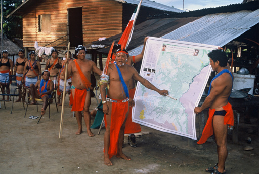
For many conservation decisions, the most contested question is also the most basic: what belongs on the map? A forest may appear on a satellite image as intact canopy. To people who live near it, the same forest may be a hunting ground, a burial site, a medicine cabinet, a route to school, a refuge for wildlife, or a place where patrols have become threatening. A reef may be mapped by scientists as coral cover, fish biomass, or thermal stress. Fishers may know it by currents, seasons, spawning sites, customary rules and the places where conflict is likely. Conservation planning increasingly depends on spatial data. Participatory mapping asks who gets to produce that data. A new review in Conservation Science and Practice, by Michael Kowalski and colleagues, offers a useful stocktake of the field. The authors define participatory mapping as a collaborative process in which participants and cartographers co-develop maps representing local knowledge, experiences and preferences about a place. Their review covers 398 peer-reviewed studies, tracing how the method has been used across conservation science and practice. It also makes clear that a field built around community knowledge still lacks consistent standards for how that knowledge should be gathered, interpreted, protected and used. The premise is simple enough. Conservation maps have long been drawn from above: through satellite imagery, expert surveys, species-distribution models, government zoning and protected-area boundaries. These tools are indispensable. They can reveal forest loss, habitat fragmentation, coral bleaching or fire risk at scales no village meeting…This article was originally published on Mongabay
From Conservation news via This RSS Feed.