

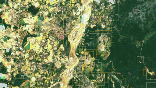
The idea that the Earth can be “searched” like a database has circulated for several years in academic and technical circles. Earth Index, developed by the nonprofit Earth Genome, brings that idea into practical use. Earth Index allows users to scan satellite imagery by visual similarity. A user can highlight an example—a patch of deforestation, a mining site, a trawler, or an airstrip—and instruct the system to find comparable patterns elsewhere. The underlying approach relies on “foundation models” trained on vast archives of Earth observation data, enabling the system to recognize features across geography and time. Until recently, such analysis required specialized teams, bespoke models, and significant computing resources. Even well-funded investigations could take months to develop. Tools like Earth Index reduce that burden. In one Mongabay-specific case, our journalists used it to identify previously unreported narcotrafficking airstrips in the Peruvian Amazon, combining automated detection with on-the-ground reporting (Spanish) Earth Index is now available without a waitlist, through an “Open” tier that provides global access and core features to any user. More advanced capabilities—such as higher usage limits, API access, and a more computationally intensive “Deep Search”—sit behind a separate tier, though the developers say they intend to keep access free for high-impact users. This expansion reflects a shift in how geospatial AI is being deployed. Satellite data has been publicly available for decades, yet much of it remains underused because of its complexity. Foundation models alter that dynamic by allowing users to interact with imagery in more intuitive ways,…This article was originally published on Mongabay
From Conservation news via This RSS Feed.