

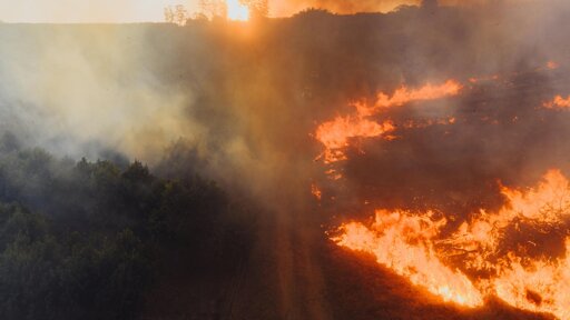
Indonesia experiences massive forest fires as the dry season approaches. They are a major environmental challenge because they damage forests and other land, endanger lives, and disrupt local economies. Using sharp, high-resolution imagery from Sentinel-2 satellites, capable of spotting details as small as 20 meters, a recent study built the first fully automated system to map burned areas across Indonesia every month in fine detail.
From Earth News - Earth Science News, Earth Science, Climate Change via This RSS Feed.
You must log in or # to comment.