

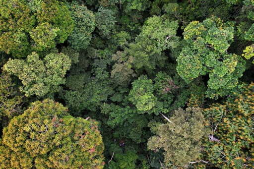
To the cartographers of the modern conservation world, the forests of northeastern Gabon can appear almost empty. Satellite images show a deep green canopy stretching across the Congo Basin. Global datasets classify large tracts as “intact forest landscapes”, areas supposedly free of industrial disturbance and largely untouched by people. On paper, such forests look pristine. The reality, as residents of the village of Massaha know well, is more complicated. In recent years the community has been fighting to protect a stretch of rainforest south of their village from industrial logging. The forest, known locally as Ibola Dja Bana Ba Massaha—“the reserve of all Massaha’s children”—lies within a concession once allocated to a logging company. For generations the people of Massaha have hunted, fished and farmed there. Sacred lakes and ritual sites lie beneath the canopy. The remains of ancestral villages dot the forest floor. Yet none of this appeared on the maps that guided official decisions. The gap between these two views of the forest is the subject of a recent study examining Massaha’s campaign to document its territory. The researchers compared global conservation maps and colonial-era cartography with a detailed map created by the community itself. The result reveals something striking: the forest that appears empty in official datasets is, in fact, layered with history and meaning. Image courtesy of Ivindo FM. Massaha’s map emerged from an unusually collaborative process. Using participatory geographic tools, villagers gathered to project satellite images of their territory onto a wall. Elders identified…This article was originally published on Mongabay
From Conservation news via This RSS Feed.