

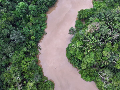
Brazil’s latest satellite alerts indicate that deforestation in the Amazon has continued to fall into early 2026, extending a downward trend that began after a sharp rise earlier in the decade. Data released by the National Institute for Space Research (INPE) show that 1,325 square kilometers of forest clearing were detected between Aug. 1, 2025 — the start of Brazil’s deforestation year — and Jan. 31, 2026. That is down from 2,050 square kilometers during the same period a year earlier and represents the lowest figure for this interval since 2014. Over a longer horizon, the picture is similarly positive from a conservation perspective. Alerts for the trailing 12 months totaled 3,770 square kilometers, compared with 4,245 square kilometers at this time last year, also the lowest since 2014. These figures come from INPE’s DETER system, which uses near-real-time satellite imagery primarily to guide enforcement. While less precise than annual surveys, DETER is widely regarded as a reliable indicator of short-term trends. Accumulated deforestation for Aug 1-Jan 31 in recent years according to INPE’s DETER alert system. Image by Mongabay Data from INPE’s DETER and Imazon’s SAD detection systems showing deforestation in the Legal Amazon (“Amazonia”). Image by Mongabay Speaking at a press conference announcing the data last week, Environment Minister Marina Silva said the decline reflects coordinated government action. She noted that most high-deforestation municipalities have now joined federal initiatives aimed at curbing illegal clearing. “Of the 81 municipalities with the highest deforestation rates, 70 have already made this…This article was originally published on Mongabay
From Conservation news via This RSS Feed.