

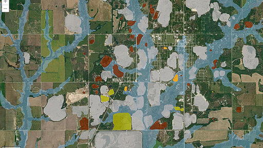
Geographic information system (GIS) maps help researchers, policymakers, and community members see how environmental risks are spread throughout a given region. These types of interactive, layered maps can be used for storytelling, education, and environmental activism. When community members are involved in their use and creation, GIS maps can also be a tool for equity.
From Earth News - Earth Science News, Earth Science, Climate Change via This RSS Feed.
You must log in or # to comment.