

Off the northern boundary of the Spratly Islands, winds howl and waves surge. A Japanese-flagged oil tanker ploughs through these disputed waters in the South China Sea.
The Towa Maru, measuring roughly 340 metres (1,115 feet) long and 60 metres wide, rivals an aircraft carrier in sheer bulk.
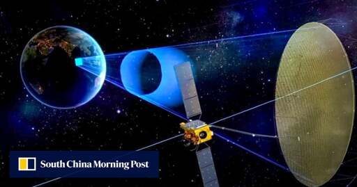
A Chinese satellite locks its gaze upon the vessel, 35,800km (22,245 miles) overhead.
Last month, China released a series of undated radar images of the Towa Maru. It marked the first time ever that a geosynchronous orbit (GEO) synthetic aperture radar (SAR) satellite had successfully achieved long-term tracking of a moving maritime target.
This breakthrough suggests that, with just three satellites, China could achieve global, 24/7, all-weather reconnaissance coverage of high-value targets, including US naval fleets.
To match this capability, other countries might need to deploy hundreds, if not thousands, of satellites.
Even the United States, with the world’s most advanced military technology, operates its radar satellites at altitudes of only a few hundred kilometres.
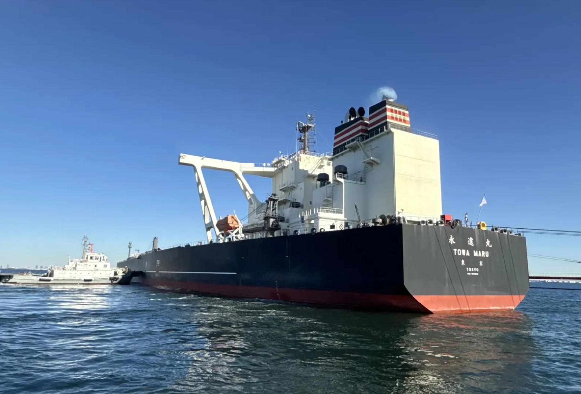
The Japan-flagged crude oil tanker Towa Maru rivals an aircraft carrier in sheer bulk. Photo: Handout
Following advancements in hypersonic weapons, sixth-generation fighters, electronic warfare systems, giant uncrewed underwater vehicles and high-powered lasers, China has secured a generational lead over American technology in another critical military domain.
Such technology was once deemed impossible, so challenging that the US military never attempted it.
Theoretical calculations based on conventional technology once concluded that monitoring a ship swaying and advancing through waves from such a distance would result in positional errors in the hundreds of kilometres.
Those presumptions have shifted. In 2023, China launched the world’s first GEO SAR satellite: Ludi Tance 4-01.
Through the designation “land detection”, the Chinese government framed the satellite’s utility as being strictly for terrestrial disaster management.
However, the US military expressed deep concern, believing it represented a game-changing intelligence and reconnaissance capability.
The concerns have now been validated. The Ludi Tance 4-01 showed a monitoring and positioning margin of error of only 3km when tracking the Towa Maru.
When integrated with supplemental surveillance data, the system can provide targeting coordinates accurate enough for practical anti-ship missile strikes.
Tracking results for four other vessels were also released, showing a tracking margin of error as low as 1.6km. However, the Chinese side did not disclose the names of these ships.
According to the project team led by Hu Yuxin, a researcher at the Chinese Academy of Sciences: “The positioning error in the measured data is slightly larger than in the simulation results.”
“This is primarily because, in actual data, positioning errors stem not only from algorithmic limitations but also from factors such as orbital errors and atmospheric transmission,” Hu wrote in a peer-reviewed paper published in the Journal of Radars.
Nevertheless, Hu and his colleagues said China “has turned the long-term continuous tracking of moving ship targets by geosynchronous orbit SAR satellites from imagination into reality”.
The scientists developed a unique algorithm that breaks down the analysis of massive data sets into multiple small tasks, processed separately within very short time frames.
This enables the satellite to extract the faint signals of moving ships from the massive background noise caused by ocean waves.
Yet, dividing the tasks too finely would not be ideal. In the spirit of Confucius’ “doctrine of the mean”, the scientists eventually found an optimal balance between efficiency and accuracy.
Low-earth orbit radar satellites are vulnerable to electromagnetic weapon attacks, whereas high-orbit satellites are far safer.
“A single imaging session can cover a sea area ranging from hundreds to thousands of kilometres, enabling the rapid detection of moving vessels across ultra-wide swathes,” Hu’s team wrote.
“This can significantly enhance the capability for active searching and continuous observation of moving ships in key maritime zones.”
According to public information, China is currently developing its next-generation high-orbit SAR satellites, which are poised to be more powerful, multifunctional and smarter.
Thanks for the heads-up. I’ve updated the story with the body text from the site.